
My Imagery updated! 🛰️ Organise your data collections and run AI workflows in one shot. 🚀
Enterprise solutions powered by Mapflow technology
We offer solutions for enterprise customers to power your analytics with mapping and interpretation AI and get the best results possible
Telco maps
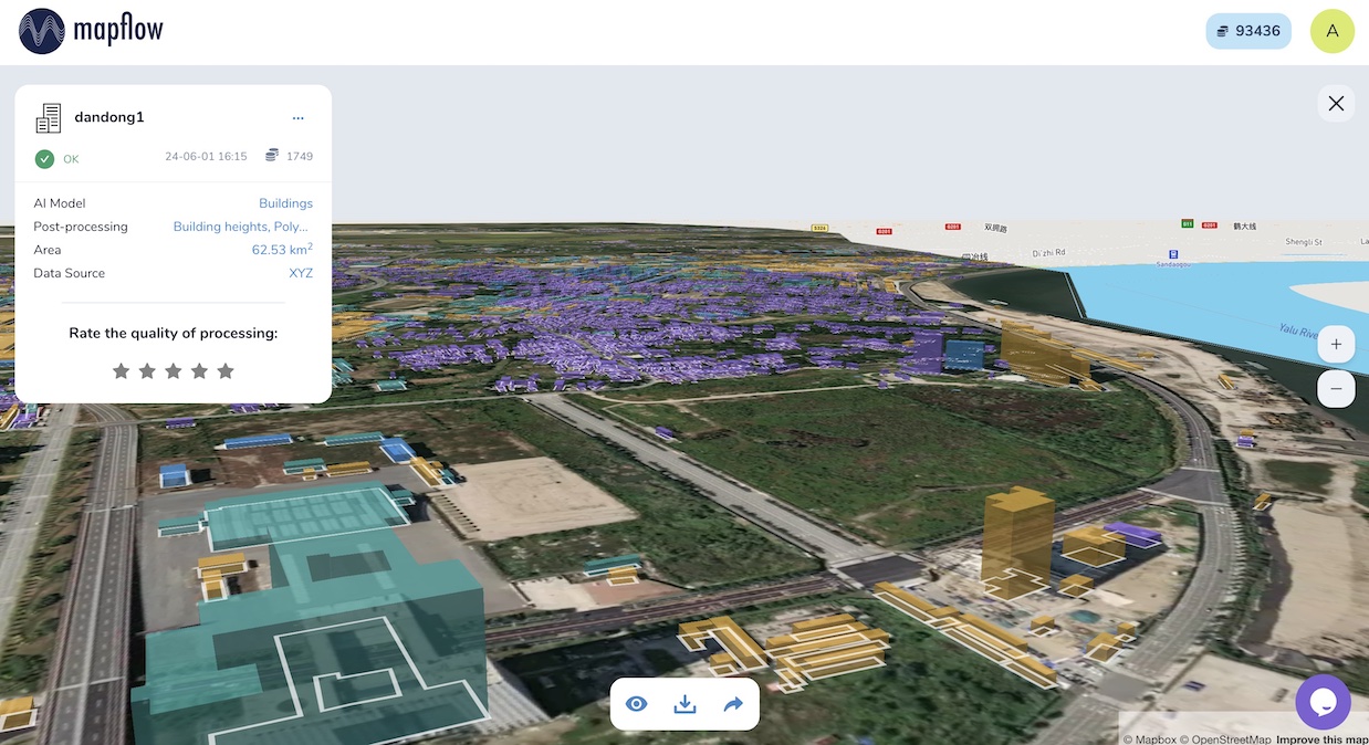
Mapflow enables the cost-effective workflow to update 3D maps using only 2D imagery + DEM fully automatically. The Mapflow workflow engine is designed for large-scale imagery processing with an average speed of 1 min per 4 Megapixel (~ 1 sq. km VHR).
Vegetation management near powerlines
Analysis of vegetation risks and work control near powerlines. Our AI models are trained on lidar data to perform on a single satellite imagery and can be used complementary to other data surveys.
Enterprise Services
Additional capabilities for enterprise customers to maximize the value of custom models.
API Integration
We provide customizable API integration. Build applications on top of the Mapflow API — see Mapflow-QGIS as an example. Our Extended support covers any API implementation needs.
Your Imagery Tile Server
Host large volumes of raster imagery (satellite, aerial, or UAV) and process it via the Mapflow cloud by providing it as a tile or OGC-compatible service. On-premises deployment is also available for regulated data.
Premium Imagery Access
Access the annually updated Global Mosaic at premium resolution up to the current year. Search for imagery from different satellite data providers directly in Mapflow and run AI analysis on the selected images.
Extended Support & SLA
End-to-end workflow from defining your AOI and features to extracting, through model training and fine-tuning, to delivering production-ready results with accuracy guarantees under SLA.
Mapflow for QGIS
Run AI-powered object detection directly in QGIS. 180,000+ downloads, open source, easy to install.
Enterprise instances with Mapflow

Get Started with Custom Models
Reach out to discuss your custom requirements. We'll help you find the best approach for your data and use case.