
My Imagery updated! 🛰️ Organise your data collections and run AI workflows in one shot. 🚀
AI-Mapping Models
Mapflow models find buildings, trees, roads and other objects in satellite, aerial and drone imagery, and return them as editable vector layers. Open a model to see what it returns, the imagery it needs and what it costs.
Popular tasks
- Map every building
- Map forest and tree cover
- Vegetation height along power lines
- Count individual trees
- Extract the road network
- Base map in one run
Default models
Available to every account in Mapflow Web, the QGIS plugin and the API.
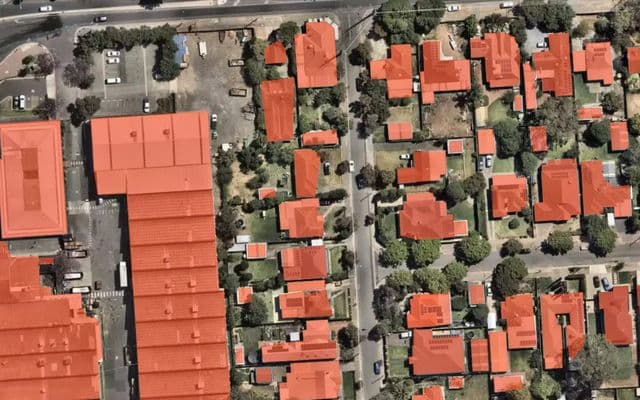 Buildings
Buildings
Roof outline of every building in your area, as editable polygons.
10 cr/km² + imagery · zoom 18
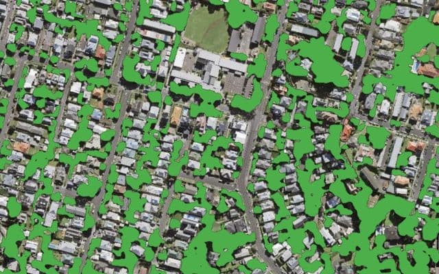 Trees and vegetation
Forest and trees
All tree and shrub cover, down to small groups and tree lines.
8 cr/km² + imagery · zoom 18–20
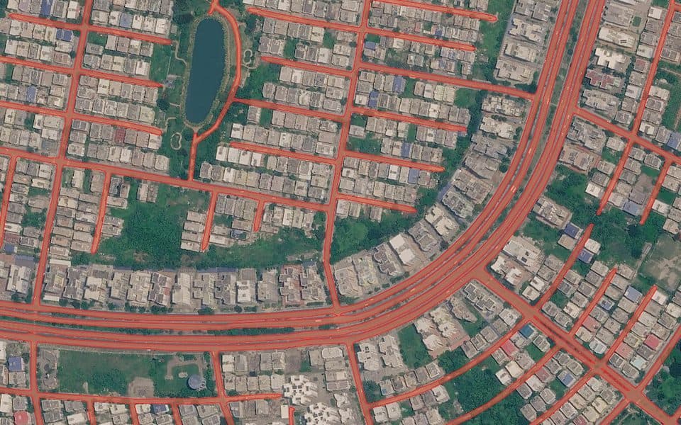 Roads and base maps
Roads
A connected road network with gaps merged and short stubs removed.
5 cr/km² + imagery · zoom 18
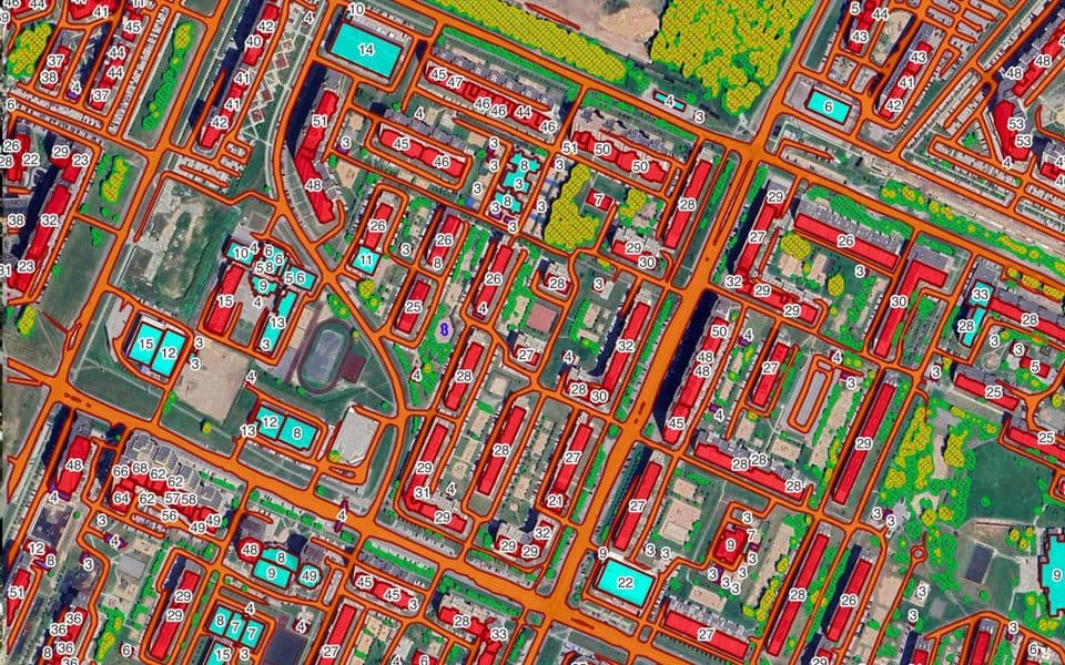 Roads and base maps
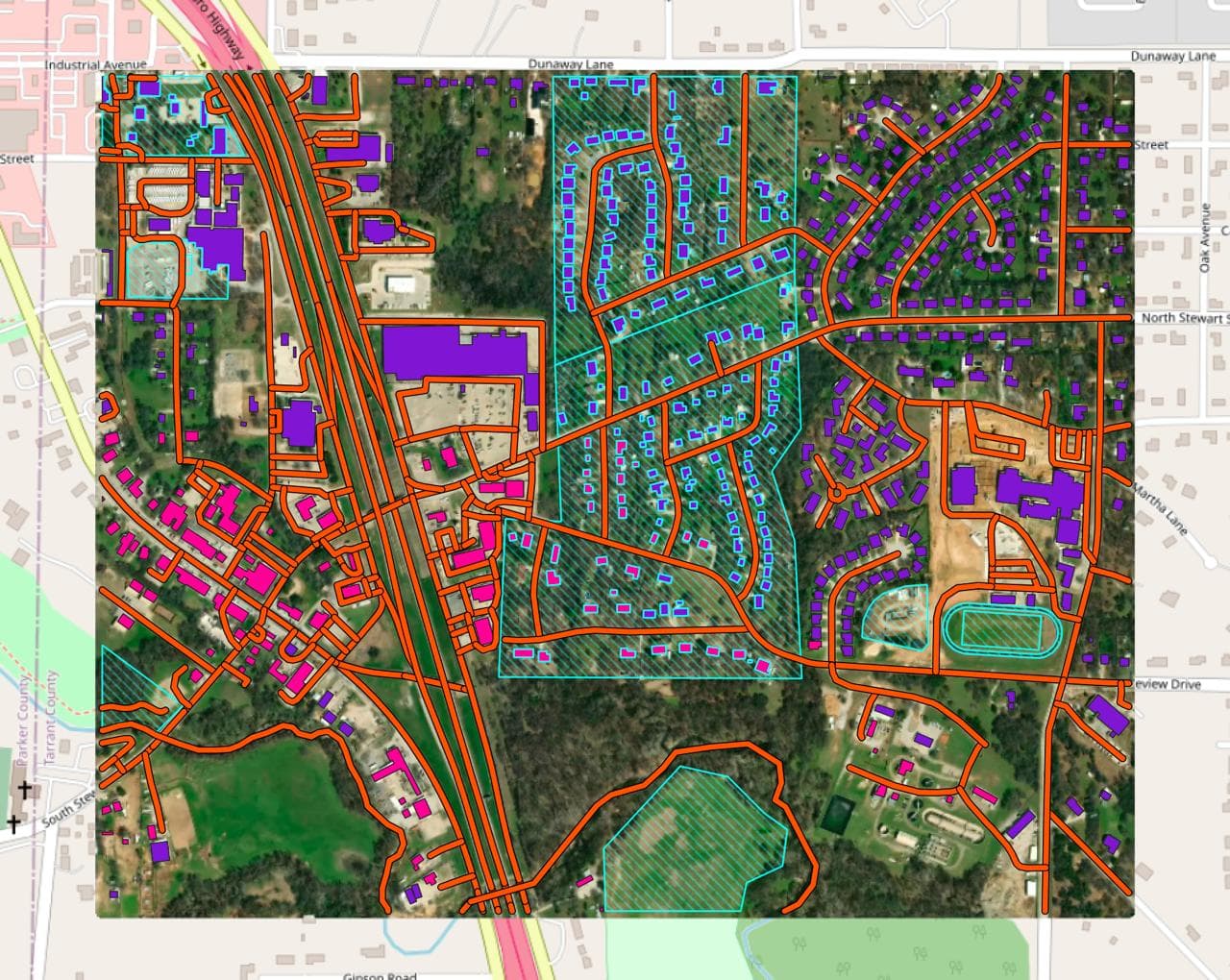
Buildings + Roads + Forest
Buildings, roads and forest together, with topology corrected.
23 cr/km² + imagery · zoom 19
 Roads and base mapsNo AI model
Open data
OpenStreetMap and Overture data for your area, with no AI model involved.
Shown before you run
Bring your own imagery
Every model runs on imagery you upload, a raster already in your QGIS project, or a fresh image from the satellite catalog.
- Any model
Map your drone or aerial orthophoto
Run any model on your own GeoTIFF or a raster layer already in QGIS.
Model price only · your GeoTIFF
- Any model
Find a fresh image, then map it
Search satellite catalogs by date, cloud and angle, then map the image you pick.
Model + imagery price · recent changes
Custom models
Trained for specific use cases. We connect them to your account on request. See how custom models work.
 BuildingsOn request
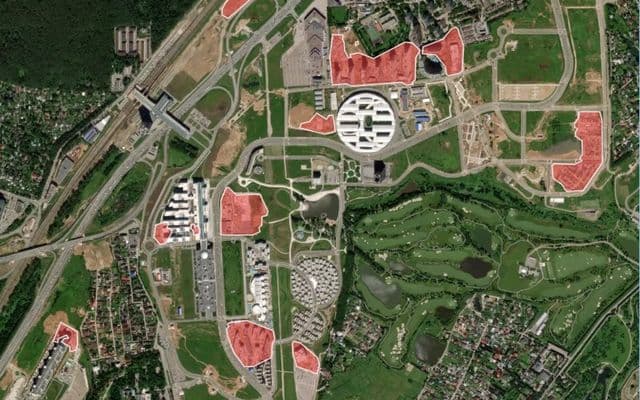
Constructions
Outlines of construction sites and buildings under construction.
On request · zoom 18
 BuildingsOn request
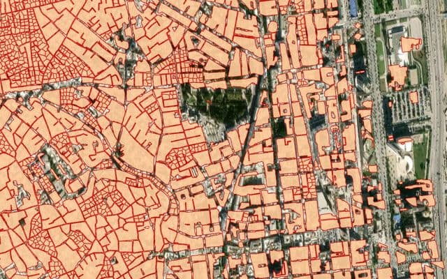
High-density housing
Terraced and tightly packed blocks divided into individual houses.
On request
 BuildingsOn request
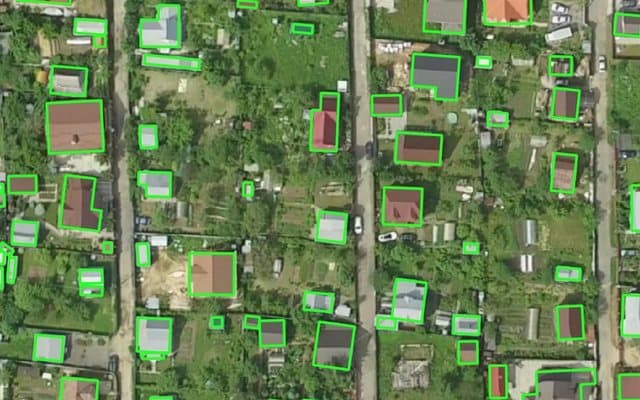
Buildings (Aerial)
Small buildings and detailed outlines from 15–10 cm aerial imagery.
On request · zoom 20–21
 BuildingsOn request
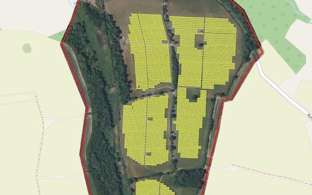
Solar panels
Photovoltaic panels on rooftops and on the ground.
On request · zoom 19–21
 BuildingsOn request
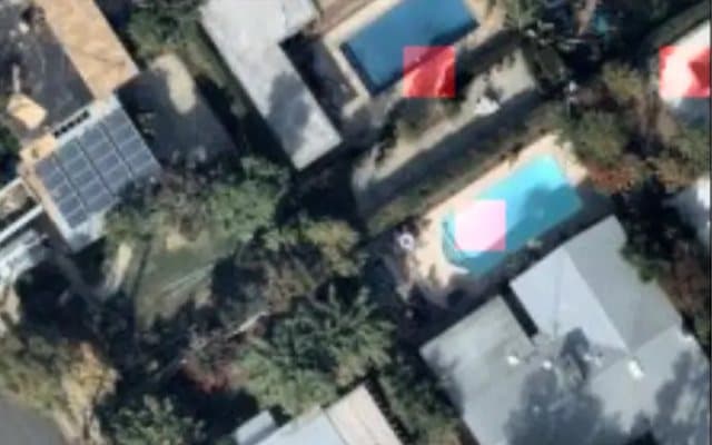
Swimming pools
Swimming pools detected and classified from aerial imagery.
On request · zoom 19–20
 Crop fieldsOn request
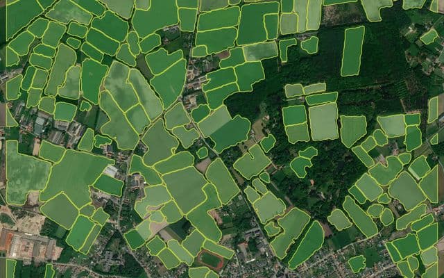
Agriculture fields
Field boundaries separated by tree lines, roads or crop stage.
On request
 Other objectsOn request
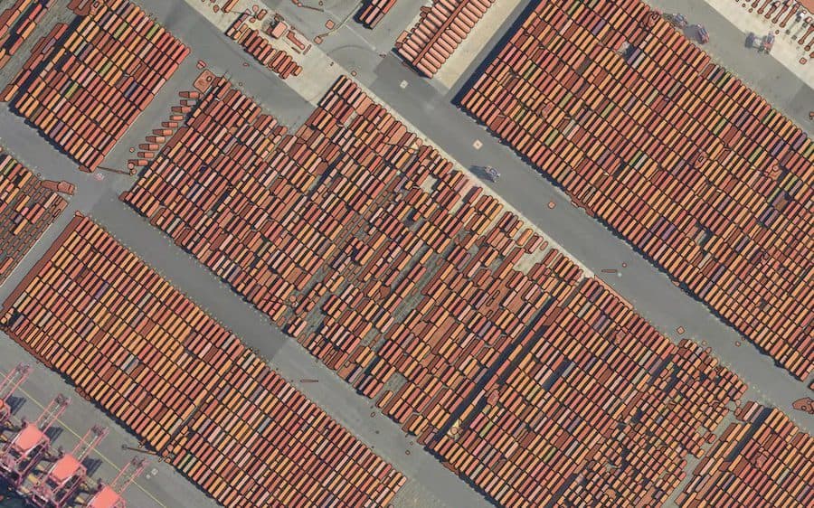
Segment Anything
Universal segmentation. The zoom level decides what you get.
On request · zoom 14–20
This is not the whole catalog
The list above is what is documented publicly today. We regularly train models for classes that never appear here — they were built for a specific customer, on a specific imagery type, for a specific region. If what you need is missing, it usually means nobody has asked for it yet.
How custom models work →Models you don't have to operate
Most geospatial AI tooling hands you a model and leaves the hard part — inference at scale, versioning, GPU capacity, retraining — to you. Mapflow is the opposite: we build the model, we run it, and you consume the output.
Hosted by Mapflow
Models run in our cloud on our hardware. You get an API, a web app and a QGIS plugin, plus every model update as it ships. Nothing to deploy, nothing to keep running.
Deployed on your infrastructure
When data residency or security rules out a hosted service, the same platform runs on-premise or in your private cloud — and Mapflow orchestrates your own models there too, so in-house and Mapflow models share one workflow engine.
Try a model on your own area
Free credits on signup — run the production models on your area of interest before talking to anyone.